


Starting at
$10.00

Starting at
$10.00
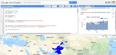
do time series analysis, chart creation, big data analysis using gee

N/A
( 0 reviews )
Actions
Hi All,
I have full command over GIS/RS tools. I can handle Raster data & Vector data quite efficiently.
I will be doing RS analysis using Machine Learning Algorithms in a cloud computing platform. GOOGLE EARTH ENGINE.
I can provide following services for Geospatial Data Analysis using Google Earth Engine
- Image Collection .
- Image Filtration.
- Calculating the area of shapefiles.
- Forest Fire Counts.
- Time Series Analysis of Geospatial Data.
- Graphs and Charts of the Time Series Analysis.
- Calculating different Spectral Indices.( NDVI, NDSI, NDWI, NDBI, NDDI).
- Mask updating of Spectral Indices.
- Graphs of Spectral Indices.
- Image Classification with Accuracy Report.
- Charts & Graphs Creation of the Classes.
- Calculating area of classes in classification.
- Landsat & Sentinel-2 Cloud Removal.
- SLC error removal from Landsat-7.
- Terrain Correction.
- Seasonal Monitoring.
- Change Detection.
- Classification using Spectral Indices.
- Drought Severity Analysis.
- LST based on Landsat/Sentinel Imagery.
- Regression.
- Inverse Distance Weighted.
- Tree Species Probability Mapping.
- Kriging.
- Regression Equation.
- Image Collection Information & Metadata.
- Spectral Signatures of Images.
- Sentinel 5-P Analysis.
- Legends.
You may also like
You may also like the following gigs

Add to favorite
Starting at
$30.00

Add to favorite
Starting at
$100.00

Add to favorite
Starting at
$5.00


Add to favorite
Starting at
$500.00


Add to favorite
Starting at
$90.00

Add to favorite
Starting at
$10.00

Add to favorite
Starting at
$50.00


Add to favorite
Starting at
$30.00


Add to favorite
Starting at
$5.00


Add to favorite
Starting at
$135.00

Add to favorite
Starting at
$100.00


Add to favorite
Starting at
$20.00

Add to favorite
Starting at
$20.00

Add to favorite
Starting at
$90.00


Add to favorite
Starting at
$20.00

Add to favorite
Starting at
$50.00

Add to favorite
Starting at
$175.00

Add to favorite
Starting at
$90.00

Add to favorite
Starting at
$25.00

Add to favorite
Starting at
$90.00


Add to favorite
Starting at
$10.00

Add to favorite
Starting at
$95.00


Add to favorite
Starting at
$20.00

Add to favorite
Starting at
$80.00

Add to favorite
Starting at
$90.00


Add to favorite
Starting at
$25.00